Most people who look at a map of Bryan Ranch read it the same way: the neighborhood sits adjacent to Mount Diablo State Park. That reading is technically accurate and practically misleading. The park boundary doesn't begin where the houses end — it wraps around two sides of the neighborhood. The 396 acres of preserved open space contained within the ranch itself connect to that boundary through a trail network. For residents who hike or ride horses, the trailhead is not a destination you drive to. It's where the street runs out.
Three separate regional trail systems converge at the Macedo Ranch Staging Area at 3756 Green Valley Road in Alamo — the park's western entry point and the closest formal gate to Bryan Ranch. Most trail guides treat it as a footnote behind Mitchell Canyon. Residents of this neighborhood have it as their nearest access to 150 miles of trails across 12,000 acres.
396 Acres Before You Reach the Trailhead
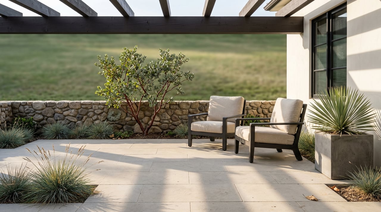
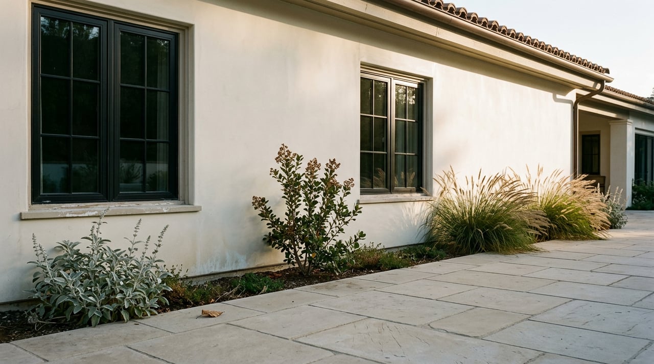
Bryan Ranch was designed around a specific relationship with the land surrounding it. The 620-acre valley's cul-de-sac layout kept internal traffic contained while the open space remained continuous with the state park on two sides. The 396 acres of preserved open space within the ranch aren't ornamental. They hold the trail connections that link residential streets to Macedo Ranch Gate on Green Valley Road.
What that means in practice: a Bryan Ranch resident heading out for a morning run is already moving through open space before reaching the formal park boundary. The visual corridor from the houses toward the mountain — the one that defines the east-facing views — is not empty land held in reserve. It's the first leg of a connected trail system that reaches all the way to the 3,849-foot summit.
One practical note before you go: Mount Diablo State Park does not permit dogs on trails or fire roads. Dogs are allowed on leash in developed areas only. If the dog is part of the routine, the Las Trampas to Mt. Diablo Regional Trail corridor and Hap Magee Ranch Park operate under different rules, covered below.
What Macedo Ranch Actually Offers
The staging area at the end of Green Valley Road is reachable from Stone Valley Road in Alamo or Diablo Road in Danville, both I-680 exits. It's not a single-trail entry — it's a hub with routes calibrated to different levels of commitment.
Route | Distance | Elevation Gain | Character |
|---|---|---|---|
Mt. Diablo Lookout Loop | 4.8 mi | 869 ft | Moderate; Wall Point Road to Little Yosemite Valley Trail, returns via Briones to Mt. Diablo Trail |
Macedo Ranch Loop | 8.3 mi | 1,830 ft | Hard; Wall Point Road, Secret Trail, Barbecue Terrace Road, Stage Road, Dusty Road |
Wall Point Road to Summit (9-mi loop) | 9 mi | 1,300 ft | Demanding; Wall Point Road to Rock City, Barbecue Terrace Road, Pine Canyon, Stage Road |
Full Summit Loop | 13.25 mi | 3,000+ ft | Strenuous; base-to-summit via Wall Point Road and multiple connector trails |
The 4.8-mile lookout loop is the route most residents use on a weekday morning. It follows Wall Point Road east from the staging area, transitions onto the Little Yosemite Valley Trail into adjacent Diablo Foothills Regional Park, and returns via the Briones to Mt. Diablo Trail. Rolling terrain, oak savanna, views of the main peak. About two and a half hours at a moderate pace.
The Macedo Ranch Loop is a different proposition: 8.3 miles with 1,830 feet of gain, averaging just over four hours. Wall Point Road leads to Secret Trail, then Barbecue Terrace Road and Stage Road before Dusty Road brings you back to the trailhead. The route is shared by hikers, trail runners, and equestrians year-round. Wildlife along the way — wild turkeys, deer, rattlesnakes in warmer months — is routine enough that it stops feeling like an event.
For equestrians, Macedo Ranch is one of only two staging areas in the entire park with facilities for horses. Most trails are open to equestrian use, with the exception of the Mary Bowerman Trail and the Summit Trail above the lower summit parking lot. Water troughs are present on the mountain but not reliably full; carry water for the horse on any route longer than five miles.
The staging area charges $6 per vehicle, cash or check only. Gates open at 8 a.m. and close at sunset. There is no drinking water at the staging area itself, though the Barbecue Terrace area has water. On hot afternoons above the tree line, the exposure is significant.
The Regional Connection at the Gate
Macedo Ranch Gate is where three separate trail systems meet, which is the detail that separates this entry point from any other western access into the park.
The Las Trampas to Mt. Diablo Regional Trail, maintained by the East Bay Regional Park District, begins at the eastern edge of Las Trampas Regional Wilderness in Alamo, passes through Hap Magee Ranch Park in Danville, crosses under I-680, climbs through open grassland and chaparral-covered slopes, and enters the state park at Macedo Ranch Gate. At that junction, it meets both the Briones to Mt. Diablo Trail and the Green Valley regional trail. The result is a contiguous open space corridor running from Las Trampas west of the freeway to the mountain's interior — accessible at multiple points along Stone Valley Road without driving to a staging area at all.
Save Mount Diablo, the nonprofit partner organization for the park, expanded its free Discover Diablo program to 36 guided excursions in 2026 across Contra Costa County. Events near the southern corridor include guided hikes, rock climbing at Mount Diablo State Park, and stargazing sessions with the Mount Diablo Astronomical Society. New this year: a Green Ranch rove and a Spanish language hike at Pine Canyon. All events are free and open to the public. Registration opens one month before each date; RSVPs are required.
The Mitchell Canyon Visitor Center, on the park's north side near Clayton, is open on weekends and holidays with interpretive programming. The summit visitor center runs seven days a week, 9:30 a.m. to 4:30 p.m.
The relationship between Bryan Ranch and the mountain is the kind of thing residents stop noticing once they've lived with it long enough. The morning trail, the preserved open space on either side of the street, the three regional systems converging at the gate a few minutes from the front door — these become part of the baseline rather than a feature. But that kind of access is specific to a small number of addresses in the East Bay, and buyers who prioritize land adjacency understand what it means for long-term value.
If you've been in Bryan Ranch or White Gate for years and are considering what comes next, or if you're weighing what this neighborhood's trail access is worth in the current market, Jill Fusari has represented homes throughout this corridor. Request a confidential home valuation to start the conversation.